← Back to portfolio
ClientOHLA SectorEngineering and infrastructure RelationshipSince 2022

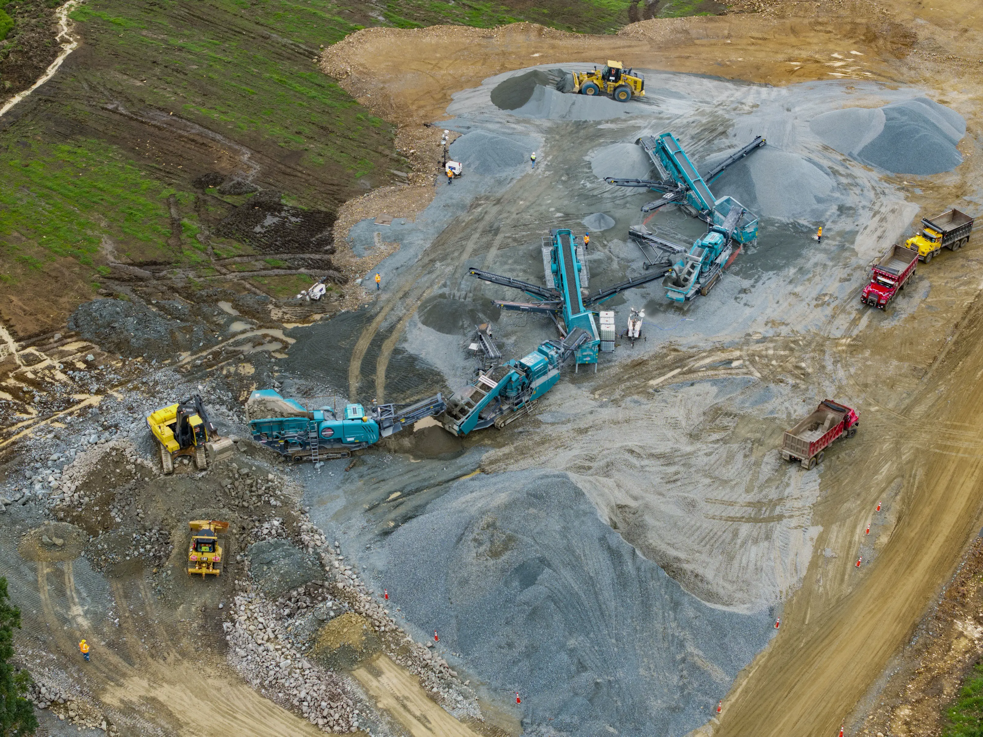
Aerial perspectives explaining a large-scale construction project

FPV drone, construction video and presentation pieces covering spaces a traditional camera could not explain on its own.

View the work
OHLA

From challenge to solution

A clear look at the context we received and the decisions that guided the work.

Before

The starting point

Infrastructure projects need to show progress, scale and the relationship between areas, while an active worksite imposes specific routes, timing and technical conditions. The challenge was to create a fluid reading of the place without losing precision or safety during capture.

After

KEDSAC’s response

We planned FPV drone routes and conventional aerial shots around the points that best explained the worksite. Editing connects movement, location and technical detail, while presentation documents extend the material into an additional communication format.

Services

  • Producción audiovisual
  • Drone FPV
  • Video de obra
  • Fotografía aérea
  • Edición

The work, in context

A concise selection of pieces and moments that makes the full system easy to understand without turning the case into an endless archive.

01 / 05Recorrido de obra con drone FPV
02 / 05Lectura aérea del proyecto
03 / 05Infraestructura y contexto territorial
04 / 05Avance de obra desde el aire
Presentación visual de obra PDF · Open document ↗

Results

  • An audiovisual route connecting different areas of the project in one sequence.
  • A library of aerial imagery for updates and presentations.
  • Technical material organized into an easy-to-share visual piece.

Working through a similar challenge?

Tell us what your brand needs and let’s discuss the right scope.

Hi. Leave your name and email and we will contact you shortly.

Thank you, . Opening WhatsApp…

✕